The urban development of the Senningerberg
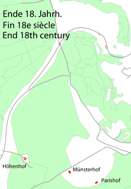
The “crest” Senningerberg had been inhabited since ever. When the site “Knupp” (rue des Sapins) had been renovated, important archaeological discoveries were made (brick stones, roofing tiles, bodies of old crockery, fireplaces, rests of an old 3m large road). Even today you can find on a regular basis old coins dating of the time of the emperor Augustus (27 a.Chr.-14 p.Chr.).
 |
 |
 |
 |
The name of the locality Senningerberg is mentioned for the first time in 1842 in the original land register. Around the year 1900 there were in all 95 persons living in 22 houses on the plateau of the Senningerberg (400 m above the sea-level). The “Pariserhof”, the “Münsterhof”, the “Franzosengrund”, the “Höhenhof” and the castle “Höhenhof” did also belong to the inhabited area of Senningerberg.
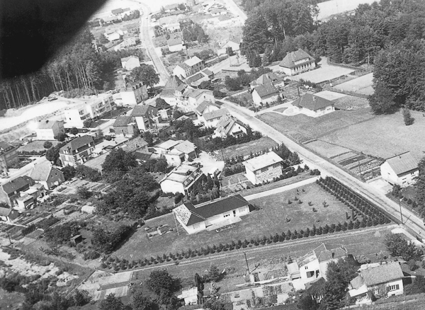
Aerial picture of Senningerberg dated 1974.
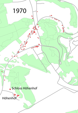
With the appearing of the narrow railway line Luxembourg-Echternach in 1904 Senningerberg started to develop rapidly. Around the railway station appeared numerous pubs, becoming together with the Grünewald a favourite trip destination for the privileged Luxembourg society. At the beginning of the 1st World War Senningerberg counted 31 houses and in 1939 already 51. After the wars Senningerberg lost its interest as a trip destination in order to become an envied real estate location.
 |
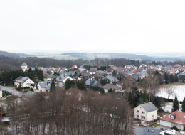 |
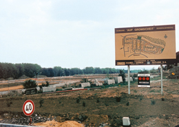
| “Cité Gromscheed” once and now | |
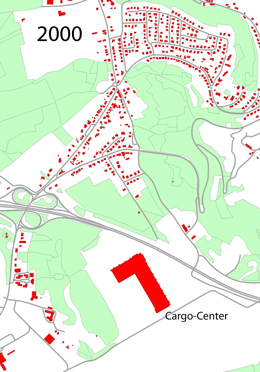
The shut down of the railway line in 1954 did not change this fact, as the access to the Luxembourg highway in 1970 permitted, together with the construction of the bridge Grand-Duchesse Charlotte, to be even closer to Luxembourg City as sort of suburb.The construction of new roads and housing estates had been a logical consequence (for example rue des Pins, rue des Sapins, rue du Château d’Eau, Cité Gromscheed). Last mentioned had been constructed on the ground of the old stone quarry.
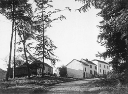 Some of the oldest houses of the “rue des Romains” |
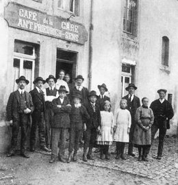 In front of the station inn “Stomparm”, first house in Senningerberg. |
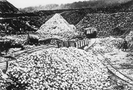 The “Schambourg” quarry in Seningerberg |
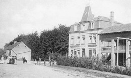 Pub and Inn “B. Tonnar” at the Senningen station |
