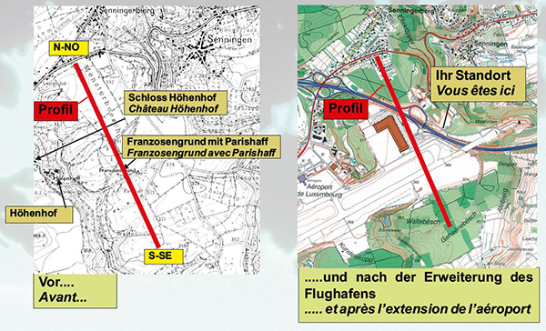
 Up from this peek you have a beautiful extended view over the landscape. When you turn your head to the left, you can see on the east side the hilly region of the Fossil Shells and Keuper banks, reaching up to the Moselle River. In the south (when you look straight before you) your sight is limited by the compensational forest around the airport, which dominates the view.
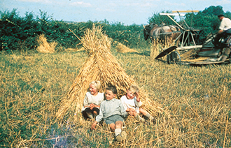
Before the airport enlargement the “Franzosengrund” mainly served for agriculture.
The enlargement of the airport area in the eighties of the 20th century did completely change the initial landscape. The landing strip is situated there where meadows, farmland and pastures had once been. In a small valley, called “Franzosengrund” there were the farms of the “Heiterhof” and the “Pariserhof”.
 When the landing strip has been extended the whole site had to get levelled and the whole “Franzosengrund” valley had to disappear together with its farms.
The “Höhenhof”
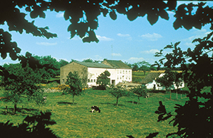
The “Franzosengrund” and the “Heitershof”
From the historical point of view this farm had always been the most important building of the Senningerberg. In the year 1381 the abbot Jean de Felsberg of the Luxembourg abbey bought a domain for the monks to develop, called the “Höhenhof”. Immediately after the purchase, 4 large fish ponds had been installed and in 1720 a fifth one had been added. The farm had been run by the friars for at least 4 centuries and had been sold by auction during the French Revolution as national property.
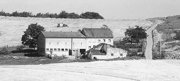
One of the last pisctures of the “Heitershof” before falling for the airport enlargement.
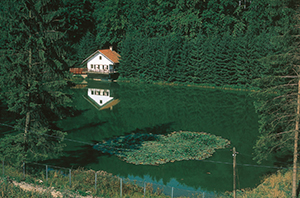
Old pond at the Höhenhof.
n the year 1860 the Ellis and Philippart company did buy the site. The Belgians used it to run an important distillery. It was at that period when the castle was constructedserving as the director’s building. Several times afterwards the site changed its owners before it had finally been purchased by the company Hôtel Aerogolf in 1970, demolishing the building in order to build a modern hotel on that same place.
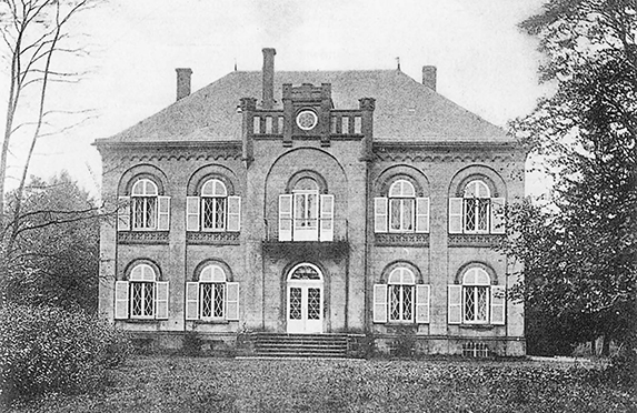
The “Höhenhof” castle where the hotel Aerogolf Sheraton has been erected.
At the beginning of the eighties of the 20th century the “Franzosengrund” had been banked up as the landing runway had to get extended.
