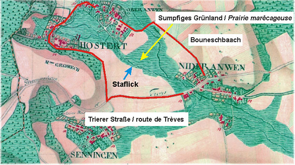
 50 years ago the alluvial landscape between Oberanven and Niederanven was marked by nearly untouched brook sides. The very low incline of the site provoked that the local brooks (Staflick and Bouneschbach) began to meander and constantly overflew at flooding time.
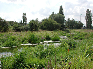
Probable sight of the former alluvial landscape
The flood waters slowly changed this site into an extended wetland. The soil, rich in clay, favourites the water stagnation transforming the pastures into wet grasslands which since ever had been very useful in agriculture. The typical wetland vegetation with the typical canary grasses like the reed plant, the reed-canary grass or the Typhaceae grass was signing this floodplain.
On the famous Ferraris map, you can see that there was no direct link between Oberanven and Niederanven. Because of the swampy character of the ground, only one road, crossing the village of Hostert and one path over the Bouneschbach brook was connecting the two villages.
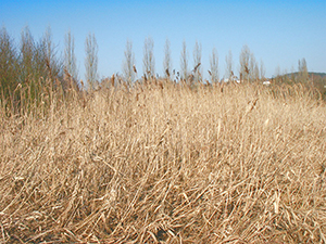
Remainders of the typical alluvial vegetation of once at the edge of the Staflick brook.
In order to gain more agricultural land, the brooks had been canalized and the wetland dried up by setting drainage lines. Later on, the dried zone had been transformed into a social site, where the school centre “Am Sand”, the residential homes for elderly “Cipa” and the centre for culture and leisure “Loisi” had been built. By this same opportunity a new road, linking Niederanven with Oberanven, bordered with different other constructions had been constructed.
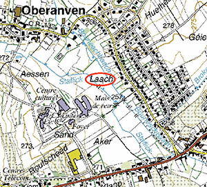 If you have a look on the old maps and compare them with the situation of today, you can observe that the brooks had not only been straightened, but that they completely changed their course in the way that the confluence of the Staflick and the Bouneschbach had been transferred to the route de Trèves.
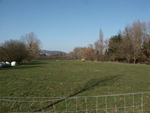
Actual agricultural use of the zone between the two brooks in form of pastures.
The place called “Laach”, a word appearing in many local names in Luxembourg, means “swamp” and is used here for the road, connecting Oberanven with Niederanven, recalling by its name the former character of the landscape.
