
![]()
![]()
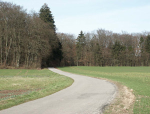 From Niederanven over the “Engelhaff” to Ernster a country lane connects the south side with the north side of the municipality. A part of this lane belonged to the famous Roman road between Niederanven and Olingen.
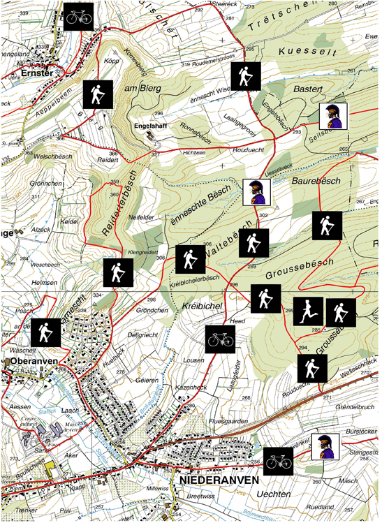
The local region is structured by many trails.
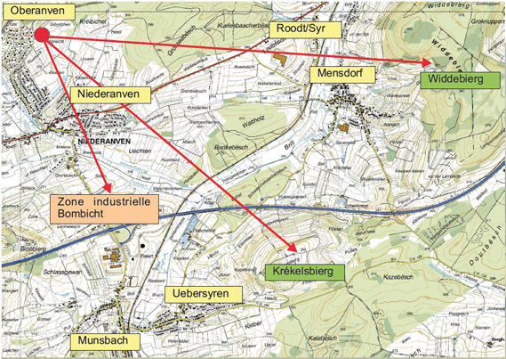
From Oberanven, Aarnescht and Niederanven, small trails are leading eastwards to the “Groussebësch”, where they meet the hiking trails of Rood/Syr, connecting Niederanven with the neighbour municipality of Betzdorf. A jogging trail has also been set up in the “Groussebësch”.

Business Center “Bombicht”
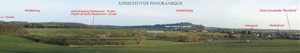
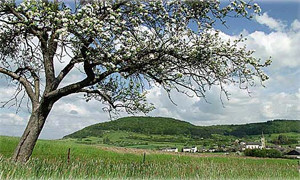
Looking southwards you can see behind the city of Niederanven the business Center “Bombicht” set up in 1997. Situated in the Syr valley it has direct connections to the highway “Luxembourg-Treves”. On the 4 ha site more than 20 companies are active.
Table Mountains: Widdebierg / Kréckelsbierg
The name “Kréckelsbierg” derives from the name of the little blue fruits of the today rare wild Plumtree.
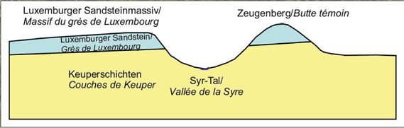
The Widdebierg and the Kréckelsbierg are 2 table mountains, situated in front of the Luxembourg Sandstone layer on the eastside of the Grünewald, related by a high step in the terrain. With a height of almost 386 m above the sea level they are rising above the undulated Late Triassic landscape and the Syrdall.
They are forming an important drinking water reserve. The waters emerging from the sides are partly used for drinking water supply.
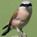
Rare fauna and flora species of the Widdebierg Natural Reserve
 |
 |
 |
 |
|
The presence of important biotopes like orchards, woodlands, |
|||

This is the Roman bronze figurine, found on the excavation site, representing a predator attacking an ostrich.
The roman discoveries that had been found on the site (especially the Roman sanctuary) gave the Widdebierg also a high archaeological importance.
![]()
![]()